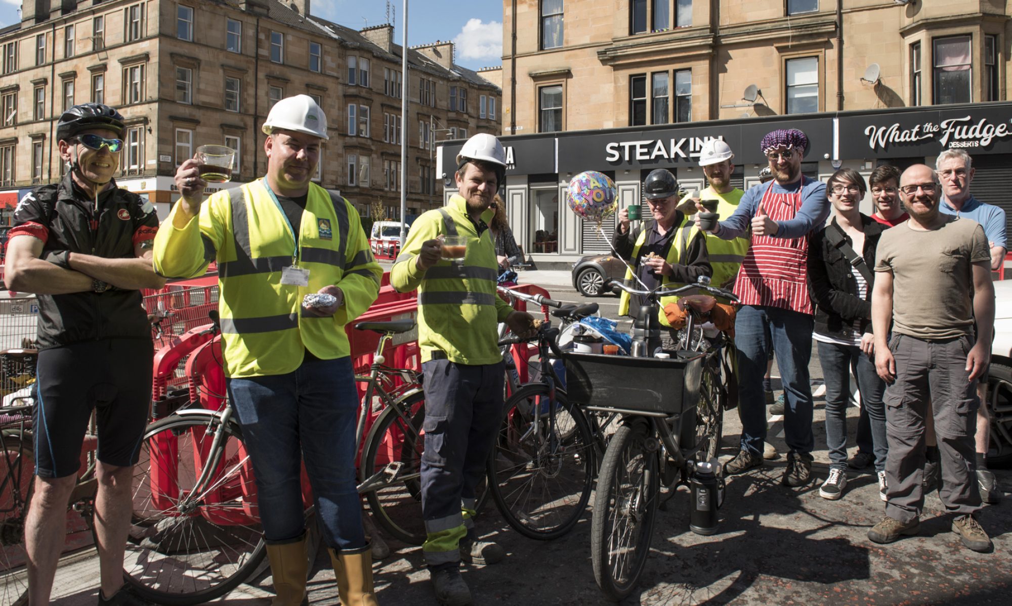

Ton up!
The one hundredth issue of the Digest is perhaps a moment to reflect on what’s happened in the past nearly four years. While things could always be better, there is more cycling infrastructure in place now than there was then. Projects like Spaces for People, Connecting Woodside or the East Kilbride Active Travel Network have gone in the ground (even if the rest of the South City Way hasn’t).
Around three quarters of those issues were written by the previous editor, Tricia Fort, who deserves a lot of credit for establishing the Digest (especially as it used to cover national issues too). Digest 1 in January 2018 mentioned work starting on the Sauchiehall St Avenue, just as events are due for the next phase along the precinct…
Forthcoming consultations:
Glasgow Avenues consultation events:
- Sauchiehall Precinct and Cambridge St – Tues, 30 November 2021, 19:00 – 20:30
- Argyle St, west (Central station to M8) – Thurs, 2 December 2021, 19:00 – 20:30
Provisional plans seen by GoBike didn’t match current standards in the updated Cycling by Design guidelines. Please attend if you can to speak up for better quality cycle lanes.
Contents
(new/updated items in bold – link jumps to article)
Section 1: Current Consultations
- SEC Arrival Hall & Minerva St pedestrian/cycle bridge (planning application)
- George Square: City Centre Traffic Management Order 2010 (Variation No. 31)
- Draft Parking Management Plan (EDC)
- Draft Glasgow Transport Strategy: framework – Deadline extended
- Pollok Park: Off Road Parking Places Order 2016 (Variation No.1)
- Braidcraft Rd & Brockburn Rd TROs
- Hyndland, Hughenden And Dowanhill West, Traffic Management/Parking Controls
- Ayr Road (South) Active Travel Improvements
- Dennistoun to Cranhill Liveable Neighbourhoods
- Govan to Kingston Liveable Neighbourhoods
- Langside to Toryglen Liveable Neighbourhoods
- Ruchill to Cowlairs Liveable Neighbourhoods
- Raeberry St Quietway (Connecting Woodside)
- Ayr Road (North): Spaces for People, Phase 2
- Helensburgh to Garelochhead active travel route
Section 2: Consultation Feedback
- Site South of Beith Street/Crawford Street/Rosevale Street (planning application)
- GAIA Construction Update
- Local Development Plan newsletter (EDC)
Section 1: Current Consultations
(in date order for responses)
1.1: SEC Arrival Hall & Minerva St pedestrian/cycle bridge (planning application)

Organisation: Scottish Event Campus.
Area: SEC and Minerva St, Finnieston.
Subject: Part of the wider redevelopment plans for the SEC, is this proposal for the pedestrian/cycle bridge from Minerva St (at Exhibition Centre train station). It will have the same footings north of Stobcross Rd, so will keep its hazardous 90º corners but add tight 180º turns on new internal ramps inside an ‘arrival hall’ building (starting roughly where the current ‘kink’ is, south of Stobcross Rd). The bridge is supposed to be a core path – these plans seem to put that in doubt.
First covered: Digest 99, Item 1.5.
Website links: SEC Arrival Hall & Minerva St bridge planning application.
Deadline: 25 November.
1.2: George Square: City Centre Traffic Management Order 2010 (Variation No. 31)
Council: Glasgow City.
Subject: Order to make Spaces for People temporary measures permanent in George Square. These include walking/cycling only areas on the west and east sides of the square and at the junction with Hanover St. Also, the southern side is restricted to bus, taxi and cycles from 7am–7pm. There are other restrictions and disabled parking bays on the streets next to the square plus a few restrictions on parts of West Nile St.
First covered: Digest 99, Item 1.6.
Website links: George Sq map, George Sq City Centre TRO Report, George Sq press notice, George Sq Statement of Reasons.
Deadline: 26 November.
1.3: Draft Parking Management Plan

Council: East Dunbartonshire.
Subject: A “coordinated, operational plan for parking management.” Consultation ends this month – see above ‘plan on a page’ for details.
First covered: Digest 97, Item 1.6.
Website links: Draft parking management plan consultation page and survey.
Deadline: 30 November.
1.4: Draft Glasgow Transport Strategy: Framework
Council: Glasgow City.
Subject: “The new transport strategy will be city-wide, and provide a framework for investment and decision-making on transport issues up to 2030.” Note: specific transport projects won’t be covered until the ‘Glasgow Transport Strategy: Spatial Delivery Framework’ in 2022.
First covered: Digest 98, Item 1.7.
Website links: Glasgow Transport Strategy page, Draft framework document (39MB!), GTS ‘Story Map’ (some parts load slowly or are broken), GTS online survey.
Deadline: 3 December (extended).
1.5: Pollok Park: Off Road Parking Places Order 2016 (Variation No.1)

Council: Glasgow City.
Subject: Off road car parking in Pollok Country Park. Digest 73, Item 3.4 covered the new access road and car park plans for the park. This order affects the current car parks, presumably ahead of work starting. The Burrell Collection is due to reopen after refurbishment in 2022.
Website links: Off road parking plan-Burrell, Off road parking plan-Nether-Pollok, Off road parking plan-Riverside, Off road parking report, Off road parking order, Off road parking notice.
Deadline: 10 December.
1.6: Braidcraft Rd & Brockburn Rd TROs

Council: Glasgow City.
Area: Braidcraft Rd & Brockburn Rd, Pollok (west of Pollok Country Park).
Subject: Traffic Order to help make Spaces for People temporary infrastructure permanent. Both roads are dual carriageways – ‘soft segregation’ was added to a lane each way on both. There’s been a reaction against the lanes including a banner and a petition.
Website links: Braidcraft Rd plan, Braidcraft Rd report, Braidcraft Rd press notice, Brockburn Rd plan-1, Brockburn Rd plan-2, Brockburn Rd report, Brockburn Rd press notice, Braidcraft Rd/Brockburn Rd statement of reasons.
Deadline: 10 December.
1.7: Hyndland, Hughenden And Dowanhill West, Traffic Management/Parking Controls

Council: Glasgow City.
Area: Clarence Drive in the West End (between Crow Rd and Hyndland Rd).
Subject: Traffic Order to help make Spaces for People temporary infrastructure permanent. Existing painted lanes had been plagued by car parking so ‘soft segregation’ was added in late 2020.
Website links: Clarence Dr plan, Clarence Dr report, Clarence Dr notice, Clarence Dr SoR.
Deadline: 23 December.
1.8: Ayr Road (South) Active Travel Improvements
Council: East Renfrewshire.
Area: Ayr Rd south from Newton Mearns.
Subject: Build a replacement shared-use path on the north/west side of Ayr Road, between North Hillhead Road and the M77 overbridge.
First covered: Digest 97, Item 1.7.
Website link: ERC Ayr Road South consultation page.
Deadline: 24 December.
1.9: Dennistoun to Cranhill Liveable Neighbourhoods

Council: Glasgow City.
Area: From Dennistoun (including Necropolis), Milnbank, Haghill, Riddrie, Carntyne to Cranhill.
Subject: The first of two further LN consultations using Commonplace maps and the Place Standard tool. The ‘8th Coolest Neighbourhood in the world’ has issues with traffic and rat running that weren’t solved by the half hearted Spaces for People ‘LTN’. Haghill and Riddrie seem to have been spared a new dual carriageway but also have traffic issues. Along Edinburgh Rd there’s plenty of space for segregated cycle lanes to serve Carntyne, Cranhill and beyond. Over 250 comments so far since 17 Nov.
Website link: Dennistoun to Cranhill LN Commonplace map, Dennistoun to Cranhill Place Standard survey, Further details and events in Dennistoun Community Council article.
Deadline: No obvious deadline.
1.10: Govan to Kingston Liveable Neighbourhoods

Council: Glasgow City.
Area: From ‘Greater Govan’ (including Cessnock, Kinning Park, Plantation) and Ibrox to Kingston.
Subject: The second new consultation area has had some redevelopment around Govan bus station and work is due to start on the proposed Govan to Partick footbridge. The Southern General/QEUH is Scotland’s biggest hospital but has no segregated cycle route. Neither does Paisley Road West or a proper connection under the M8 to the South West City Way on Shields Rd. So far, over 150 comments have been added since 17 Nov.
Website link: Govan to Kingston LN Commonplace map, Govan to Kingston Place Standard survey.
Deadline: No obvious deadline.
1.11: Langside to Toryglen Liveable Neighbourhoods
Council: Glasgow City.
Area: From Langside (at edge of Shawlands) across Battlefield, Mount Florida and part of King’s Park to Toryglen (and Polmadie).
Subject: A really random Liveable Neighbourhood area, including busy Langside and empty Polmadie. Plans for Battlefield Rest and the South City Way extension were delayed by local residents who somehow missed the consultation. In Toryglen, work to connect up new paths in Malls Mire has been continuing. There’s not much active travel infrastructure in between except the experimental lane on Aitkenhead Rd (and maybe Cathkin Cycle Speedway track). Over 350 comments so far since 29 Sept.
First covered: Digest 96, 1.4.
Website link: Langside to Toryglen LN Commonplace map, Langside to Toryglen Place Standard survey.
Deadline: No obvious deadline.
1.12: Ruchill to Cowlairs Liveable Neighbourhoods
Council: Glasgow City.
Area: North of the canal from Ruchill (at edge of Maryhill) across Possilpark, Hamiltonhill, Rockvilla, Craighall, Keppochhill and Port Dundas to Cowlairs (plus Sighthill Park).
Subject: The edges of this area have been redeveloped with active travel routes along the canal. Nearby Sighthill is being completely rebuilt including a segregated cycle route on St Rollox Dr. However, that ends at Cowlairs and neighbourhoods like Possilpark and Ruchill have a lot of derelict sites. The Spaces for People lanes on Hawthorn St have added a west-east cycle route. Less than 100 comments have been added to the map since 29 Sept.
First covered: Digest 96, 1.5.
Website link: Ruchill to Cowlairs LN Commonplace map, Ruchill to Cowlairs Place Standard survey.
Deadline: No obvious deadline.
1.13: Raeberry St Quietway (Connecting Woodside)
Area: Raeberry St, North Woodside (west of Maryhill Rd).
Subject: Part of Connecting Woodside with junction redesigns at either end of the street and new secure cycle parking. The Maryhill Rd end is narrowed and the crossing moved to make a direct link to Trossachs St (towards Garscube Rd and the canal). Car parking bays are set by the new North Kelvinside/Woodside RPZ.
First covered: Digest 99, Item 1.12.
Website link: Raeberry St Quietway ‘storymap’, Raeberry St plans PDF, Raeberry St survey.
Deadline: No obvious deadline.
1.14: Ayr Road (North): Spaces for People, Phase 2
Council: East Renfrewshire.
Area: Ayr Rd through Newton Mearns.
Subject: Phase 2 consultation about replacing the phase 1 cones with light segregation.
First covered: Digest 91, Item 1.5.
Website link: ERC Ayr Road Phase 2 Commonplace page.
Deadline: No obvious deadline.
1.15: Helensburgh to Garelochhead active travel route
Council: Argyll and Bute.
Area: Gare Loch east shore (A814/B872).
Subject: Active travel route between Helensburgh and Garelochhead (by Faslane naval base).
First covered: Digest 95, 1.5.
Website link: Helensburgh to Garelochhead active travel consultation.
Deadline: No obvious deadline.
Section 2: Consultation Feedback
2.1: Site South of Beith Street/Crawford Street/Rosevale Street (planning application)

Council: Glasgow City.
Area: Greenspace, south of Beith St, Partick (north of Clydeside Expressway).
Subject: A long-running planning application for flats, as covered in Digest 50, Item 3.7. There had been some confusion about appeals and technicalities so GCC have sent a letter to try and clarify the situation. The gist is it’s still “approved in principle”, subject to conditions, with detailed plans to follow at some point.
Website link: Beith St letter.
2.2: GAIA Construction Update
Council: East Renfrewshire.
Area: Glasgow Airport Investment Area.
Subject: Update about East Ren’s flagship City Deal project, including the pedestrian/cycle bridge over the Black Cart river.
Website link: GAIA Newsletter November 2021, GAIA webpage.
2.3: Local Development Plan newsletter (EDC)
Council: East Dunbartonshire.
Subject: Update about EDC’s Local Development Plan 2 and other planning issues.
Website link: EDC LDP2 newsletter.