
Is the coast clear?
A handful of Traffic Regulation Orders in Glasgow plus campus routes and a Liveable Neighbourhood up for consultation. Also, an update on bike lights bagged by the Barclays site. North Lanarkshire’s plan goes to government. Consultations on the coasts of North Ayrshire and Inverclyde.
Contents
(new/updated items in bold – link jumps to article)
Section 1: Current Consultations
- School Streets, Glasgow TRO (Merrylee/OLA)
- Kelvin Way TRO
- City Centre Campus/‘Learning Quarter’ (People-First infrastructure)
- Yorkhill to Anderston Liveable Neighbourhoods
- Ardrossan Harbour Consultation
- Drumchapel Local Development Framework
- Greenock to Battery Park SfP lane
Section 2: Consultation Feedback
- Barclays, West St works – further update
- Maryhill Road/North Woodside Road/Hopehill Road TRO
- Nitshill Road, 40mph Speed limit (Amendment No.1) Order
- Auldhouse Area (Traffic Management) Order 2022
- North Lanarkshire Local Development Plan – Intention to Adopt
Section 1: Current Consultations
(in date order for responses)
1.1: School Streets, Glasgow TRO (Merrylee/OLA)
Council: Glasgow City.
Subject: ‘Take 2’ of this School Streets Traffic Order. This one only covers two schools – the neighbouring Merrylee Primary School and Our Lady of the Annunciation Primary School near Langside Drive/Merrylee Rd. The boundary has been extended since the previous version of the TRO went out. It now includes parts of Cherrybank Rd and Glasserton Rd.
First featured: Digest 105, Item 1.2.
Website links: School Streets TRO – revised (combined PDF).
Deadline: 31 March 2022.
1.2: Kelvin Way TRO
Council: Glasgow City.
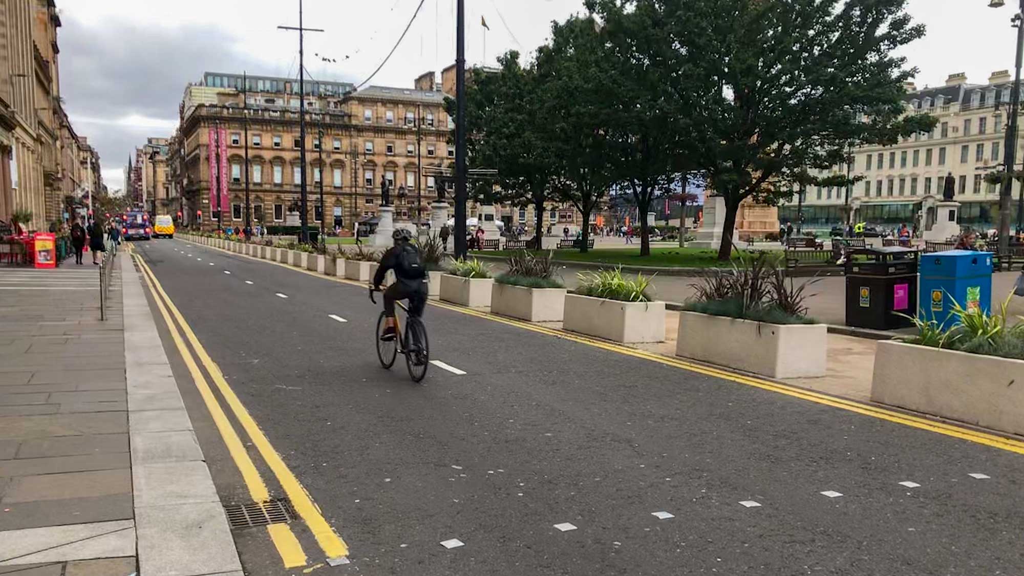
Subject: Traffic Regulation Order to help make the temporary Spaces for People measures on Kelvin Way permanent. The street is filtered at either end. The southern end has a short 2-way protected bike lane next to 1-way access to Kelvingrove Museum. GoBike helped organise Car Free Day 2018 on Kelvin Way, which showed the potential now being realised with the current signs, paint and planters. It’s become a well-used street by people walking, cycling, running, scooting and skating. Also, it’s due to link to a wider network in the Yorkhill and Kelvingrove Cycling Village (see Yorkhill–Anderston LN post, below).
First featured: Glasgow Spaces for People blog post.
Website links: Kelvin Way TRO (combined PDF).
Deadline: 7 April.
1.3: City Centre Campus/‘Learning Quarter’ (People-First infrastructure)
Organisation: Stantec on behalf of a partnership between University of Strathclyde, City of Glasgow College and Glasgow City Council.
Area: Townhead/Cathedral St area of city centre.
Subject: Consultation on infrastructure around the universities and college north-east of the city centre (‘Learning Quarter’). Many streets nearby are already due to be part of the city’s Avenues Project, including Cathedral St and North Hanover St. This project would link between those to the uni/college campuses. Firstly, the Western Route includes steep Montrose St, as it goes past Strathclyde Uni’s ‘Heart of the Campus’ (Rottenrow Gardens). There’s another hill past City of Glasgow College towards Buchanan Bus Station. Secondly, the Eastern Route would connect to Rottenrow East and link to Avenues Plus routes on George St and John Knox St. Thirdly, the Northern Route goes from a lane east of CoGC up towards the new Sighthill Bridge. The survey asks about different options for streets on the routes. Also, the ‘web hub’ includes context and evidence about the benefits of active travel.
First featured: Digest 74, Item 2.1.
Website links: Public Engagement Web Hub.
Deadline: 8 May 2022.
1.4: Yorkhill to Anderston Liveable Neighbourhoods
Council: Glasgow City.
Area: From Yorkhill, Kelvinhaugh, Stobcross, Sandyford, Finnieston to Anderston.
Subject: The latest Liveable Neighbourhoods consultation covers the area between the River Clyde, River Kelvin, Kelvingrove Park and M8. Popular active travel infrastructure in the area includes NCN7/75 and the West City Way. Also, the (almost finished?) lanes funded by City Deal on Bunhouse Rd and Old Dumbarton Rd. Further segregated cyclepaths are due for Yorkhill and Kelvingrove Cycling Village. These include Minerva St and Haugh Rd (where Bike for Good have their West hub). However, there are still plenty of gaps, as shown when the riverbank was shut during COP26. A new bridge across the Clyde at the Riverside Museum is due to start construction. Meanwhile, the SEC’s redevelopment may close off the red ‘smartie tube’ bridge at Exhibition Centre station. The M8 motorway remains a barrier to destinations like the Mitchell Library and Anderston station.
First featured: Digest 107, Item 1.11.
Website links: Yorkhill to Anderston LN (Commonplace).
Deadline: June 2022.
1.5: Ardrossan Harbour Consultation

Council: North Ayrshire.
Subject: Ardrossan Harbour and ferry terminal redevelopment “…will improve the facilities and operations at Ardrossan to meet the additional capacity provided by the MV Glen Sannox.” The much-delayed ferry is due to enter service later in 2022. Part of the proposals are about active travel routes into the site. The consultation interface is 3D but the plans are squashed into slides from a presentation. There seem to be walking and cycling lanes into both the west side (Harbour Rd – see image, above) and east side (behind the Housing Association building). The presentation also mentions cycle parking, which may be at the south-west corner of the terminal. However, the plans are very hard to read. The cycle lanes should link into the Ardrossan Connections project in the town. Despite some reaction against the project in the local paper and a petition, its events continue into April.
Website links: Ardrossan Harbour Consultation page and Ardrossan Harbour survey.
Deadline: No obvious deadline.
1.6: Drumchapel Local Development Framework
Council: Glasgow City.
Subject: The latest framework consultation, following previous strategic ones for Glasgow North, ‘Inner East’, etc. Drumchapel is known as one of the ‘big four’ post-war council housing estates (along with Castlemilk, Easterhouse and Pollok). The Drumchapel Cycle Hub is based near the sports centre but there’s very little cycling infrastructure around the area. The map has made it past 25 comments.
First featured: Digest 102, Item 1.12.
Website links: Drumchapel Commonplace map, Drumchapel survey link and background.
Deadline: No obvious deadline.
1.7: Greenock to Battery Park SfP lane
Council: Inverclyde.
Subject: A Spaces for People temporary route between Greenock town centre and a coastal park. A recent council vote was 9:2 in favour of keeping the lanes for another six months, with a further review in September. Photos in the consultation survey show a mixture of on-road ‘soft’ segregation and painted lanes on footways and across side roads. While some of the junction and bus stop treatments may not be ideal, there seem to be decent protected sections too.
Website links: Greenock Town Centre to Battery Park – Community Engagement and Inverclyde Now article on council vote.
Deadline: No obvious deadline.
Section 2: Consultation Feedback
2.1: Barclays, West St works – further update

Organisation: Barclays.
Area: South West City Way at Barclays site.
Subject: GoBike convenor Thomas has followed up on Tor’s efforts in the last Digest. The barriers around the cycleway next to Barclays buildings on West St have been removed. However, the bike traffic lights remain covered up so there is no phase for bikes at the Kingston St junction. Apparently, it’s not scheduled to be fully open until May, despite many people already using it. Thomas asked about opening the junction or at least getting signs to warn it wasn’t yet operational. Barclays responded: “…this area is due to complete roughly in May 🤞 We’re hoping this might be all sorted a little sooner, but they did mention this all depends on the weather. In terms of the signs, I have asked to see if this is something we can look into for you.”
First featured: SWCW/Barclays works blog post.
Website links: Twitter thread about West St SWCW junction.
2.2: Maryhill Road/North Woodside Road/Hopehill Road TRO

Council: Glasgow City.
Subject: Prohibiting turns onto Maryhill Rd from North Woodside Rd cycle crossing. An attempt to deal with the potential problem of turning across pedestrian crossings when bike lights are at green and pedestrian green man is on at same time. The council have added a few cycle-only ‘Give ways’ since their previous plan. It’s hard to see how they’ll help if folk turn right from N Woodside Rd onto Maryhill Rd. Also, would they complicate access for people with a visual impairment? A protected junction, like the ones on Victoria Rd, may have been a better alternative. However, at least the diagonal crossing is direct for the most popular crossing. N Woodside Rd is currently under construction – an earlier visual of how the lanes might look appeared in Digest 28, Item 1.1 in 2018. The Order was made on 11 March 2022.
First featured: Digest 88, Item 1.2.
Website links: Maryhill Rd/N Woodside Rd TRO plan (PDF).
2.3: Nitshill Road, 40mph Speed limit (Amendment No.1) Order 2022

Council: Glasgow City.
Subject: Traffic Order made on 18 March 2022 (amending a previous order from 2014 for Barrhead Road, Hurlet Road and Nitshill Road). This means moving 40mph signs slightly further down Nitshill Rd, past the entrance to a new development on a former church site. Apparently, a petrol station with shop, drive-thru and takeaway were approved for the site in 2018 (which is close to junction 3 of the M77). Also, it will include 52 car parking spaces, with a few disabled bays and electric vehicle charging points. The only active travel features seem to be a few mini-zebra crossings and 12 cycle parking spaces (perhaps for takeaway couriers?). If locals want to use the petrol station shop later at night, they’d have to cross five lanes of 40mph traffic. Recently, the Greens’ Cllr Christy Mearns has challenged the process of approving drive-thrus at a GCC Committee.
First featured:
Website links: Nitshill TRO 40mph amendment plan (PDF) (related ReGlasgow article, planning application and proposed site plan).
2.4: Auldhouse Area (Traffic Management) Order 2022

Council: Glasgow City.
Subject: Traffic restrictions in the triangle between Kilmarnock Rd, Auldhouse Rd and Nether Auldhouse Rd. The order was made on 18 March 2022 with one change from the consultation draft (July 2021). That is Mossgiel Road, from Kirkoswald Road to Alloway Road, is to remain two-way. While there are some back lanes to use for cycling there are no cycle contraflows, as discussed in Brenda’s recent blog. Other developments nearby include the redevelopment of Shawbridge Arcade on Ashtree Rd into affordable housing by Wheatley Group (perhaps in partnership with Connecting Pollokshaws and their Sustrans funding).
First featured: Digest 92, Item 1.8.
Website links: Auldhouse Area TRO 2022 (PDF).
2.5: North Lanarkshire Local Development Plan – Intention to Adopt
Council: North Lanarkshire.
Subject: NLC notified GoBike their Local Development Plan (LDP) is being submitted to the Scottish Government. The consultation for this document was three years ago. Digest 30, Item 1.5 details what little there was about active travel in the document at the time. Ministers have 28 days to ask NLC for any amendments. If they have no objections to the plan it will go on to be adopted by the council.
First featured: Digest 28, Item 1.7.
Website links: NLC LDP letter.
One Reply to “Consultation Digest (Local) Issue 109, 31 March 2022”
Comments are closed.