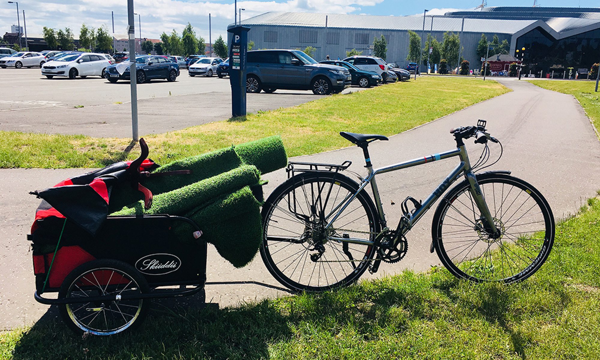

While you need to search for them, Glasgow does have some great cycling routes. These are mostly a less than ideal mix of on road painted cycle lanes, and shared use paths but we are slowly seeing a rise now of better provision in the shape of segregated cycle tracks.
Some of our segregated cycling can be found on the West City Way, the South West City Way, and what finally looks to be really fit for purpose for active travel, the still in-progress, South City Way. We also have some infrastructure currently going into Sauchiehall Street in the form of the pilot for the Avenues Project which should eventually link up the whole of the city centre.
![]()
Courtesy of Sustrans, we have some linked up shared use and off road paths routes running along the river from Cambuslang to Dumbarton (NCN 7 and NCN 75), from the river through Pollok Park to Paisley (NCN 7), through our parks from East Kilbride through Kelvingrove Park and the Botanic Gardens (NCN 756) and beside our canals from Clydebank to Falkirk (NCN 754).
The Sustrans fully interactive map can be found here.
The incredible open source
Cycle Streets
Ride with GPS

Glasgow City Council have produced an online map of cycle networks around the city but be aware that they include bus corridors as cycle routes, which we wouldn’t consider to be safe for all ages and abilities. In their Strategic Plan for Cycling 2016 – 2025 (pg 5) they cite that Glasgow has a cycle network of 310kms, a statistic that we refute. Perhaps this is due to including bus corridors within that distance, but you’ll find more information on that fallacy perfectly outlined here!
Paper copies of the Glasgow Cycle Map is produced by Glasgow City Council and is available free from various cycling retailers and charities.
You can also map your own journeys with great websites and apps from CycleStreets and Ride with GPS.