
The Glasgow area has a mix of cycling routes – sometimes painted cycle lanes on the road, shared use paths (which mix walking and cycling) and quieter roads. Historically, these made up much of the National Cycle Network (NCN) and other older cycle routes.
In recent years, there has been an increase in segregated cycle tracks (for cycling only – protected by kerbs or other barriers). It follows campaigning by groups like GoBike and Pedal on Parliament, changes in council leadership and updated design standards. Most segregated routes are in Glasgow but there are a few others in neighbouring council areas.
Maps
- GoBike cycle route map (Google Maps).
- Glasgow City Council online map of city cycle routes (may not work very well on mobile). This seems to have replaced the paper Glasgow Cycle Map.
- Interactive NCN map of the Glasgow area by Walk Wheel Cycle Trust (formerly Sustrans) and Ordnance Survey.
You can also map your own journeys with great websites and apps from Komoot, Ride with GPS, Cycle.travel and CycleStreets. The CycleStreets Photomap shows crowd-sourced images of facilities and hazards.

Segregated cycling routes information
Some example routes (not an exhaustive list):
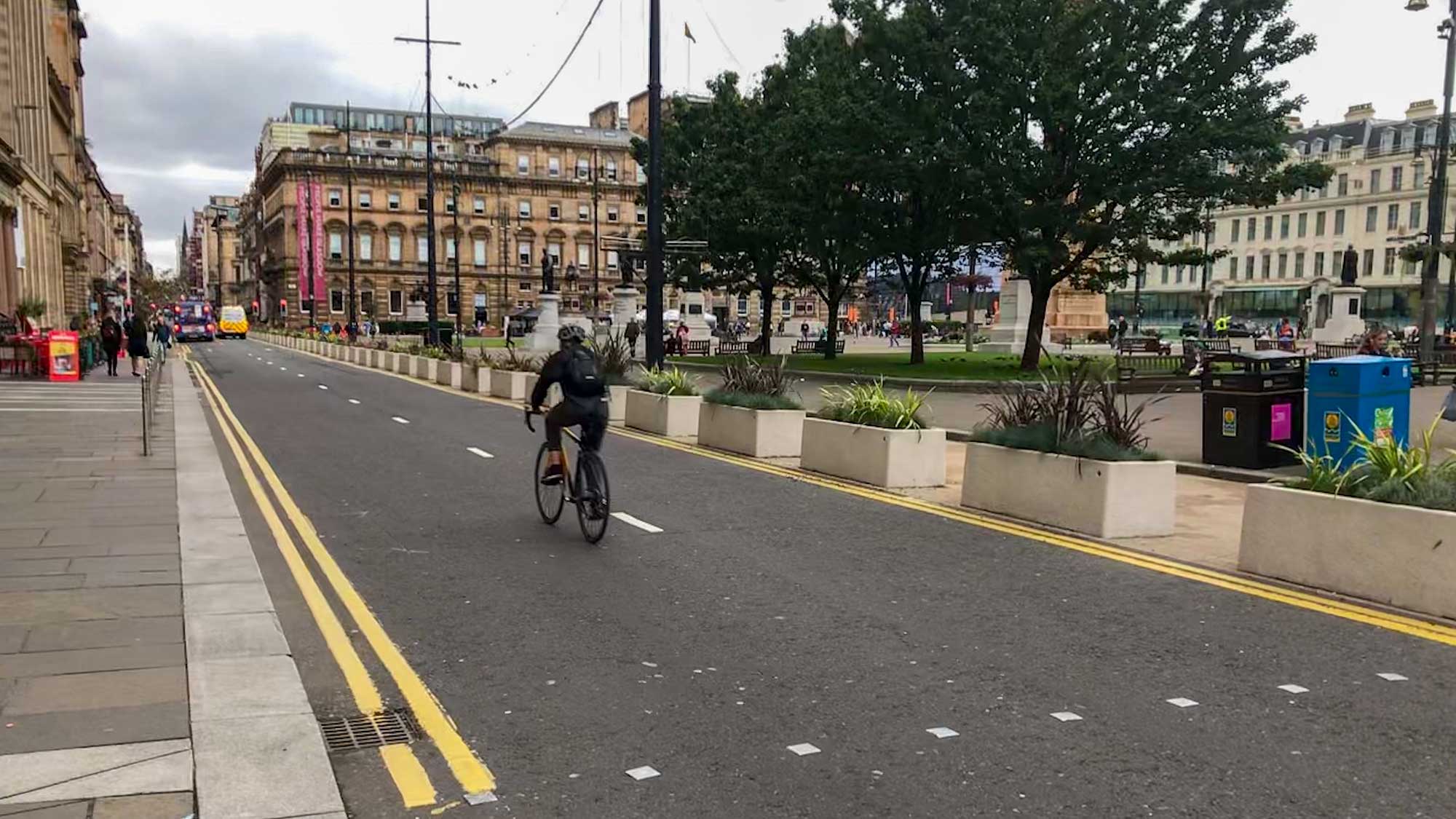
- Avenues Project – street redesign to add trees, drainage and cycle tracks. Piloted on Sauchiehall St and Cambridge St with more planned/under construction across most of the city centre.
- West City Way – Glasgow Central to Kelvinbridge (2-way lanes/quiet road/shared path on former ‘Bridge to Nowhere’).
- South City Way – Trongate to Queen’s Park (‘with flow’ lanes/2-way lanes).
- South West City Way – Tradeston to Pollok Park (2-way lanes).
- East City Way – Bridgeton to Parkhead (‘with flow’ lanes/2-way lanes).
- Connecting Woodside – completed route on Garscube Rd, north of the M8. Cycle tracks under construction on St George’s Rd.
- Bearsway – Main St, Milngavie to near Hillfoot station, East Dunbartonshire.
- A77 Active Corridor – Ayr Road, Newton Mearns, East Renfrewshire.
- East Kilbride active travel network – Cornwall St/Churchill Avenue towards South Lanarkshire College.
- Greenock town centre route – Inverclyde.
National Cycle Network (NCN) route information
- NCN 7 and NCN 75 – Cambuslang to Dumbarton along the Clyde Walkway,
- NCN 7 – from the river through Pollok Park to Paisley,
- NCN 756 – from East Kilbride through Kelvingrove Park and the Botanic Gardens, and
- NCN 754 – along canal towpaths from Clydebank to Falkirk.
![]()