Strava Data

Strava data is available for all of Scotland and we have been able to obtain data for Glasgow. We have looked specifically at commuting, but have also compared Strava data with European Cycling Challenge data and Glasgow City Council cordon counts. There is good correlation and, for the 2017 European Challenge, the City Council encouraged people to take part on the grounds that their data would help plan new cycle facilities.
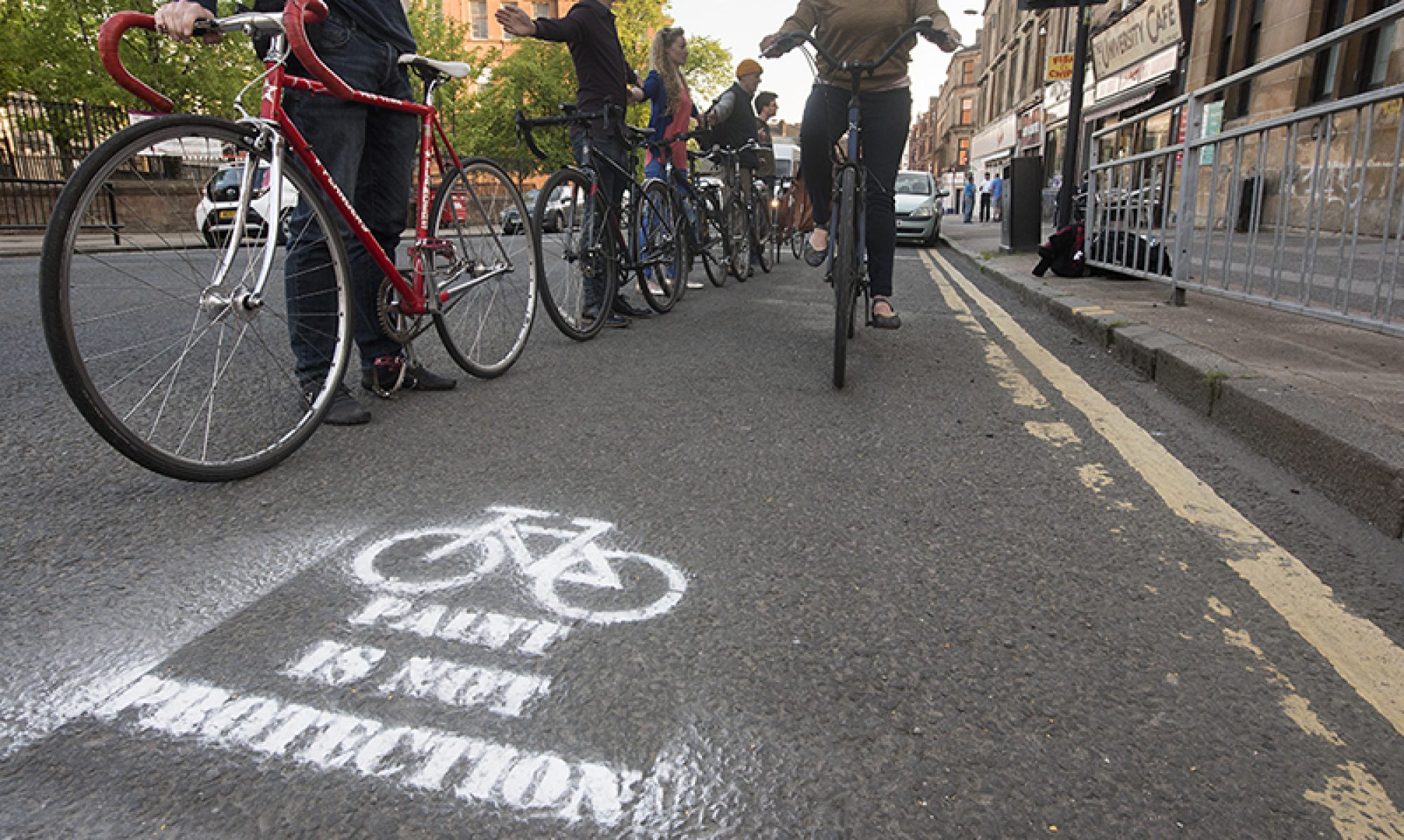
What routes do cycling commuters in Glasgow actually use?
GoBike are pleased to be able show maps based on data from Strava which document the relative number of bike trips made during the morning (6-10am) and evening (4-8pm) commuting times. The data allow us to make maps showing where cyclists actually go. Do they, for example, following the installed cycle facilities or do they follow the direct routes from where their journeys start to where they want to go? This knowledge is critical if GoBike are to effectively argue for cycle routes that go in directions that cyclists actually want to follow. The current maps are based on Strava data from 2014.
The maps below are presented as heat maps where the width of the line reflects the amount of usage. Roads with minimal commuting have been filtered out; roads with low usage are shown as white lines; roads with higher usage are show as blue lines of increasing width. Click below for larger images. The commuting heat maps are also available as KMZ files which will open in GoogleEarth.
The Strava data reveal that the bulk of cycle commuting in 2014 commuting was a radial pattern into the city centre with the busiest commuting along Pollokshaws Road/Eglinton Street, Paisley Road West, Maryhill Road and along the Clyde.


