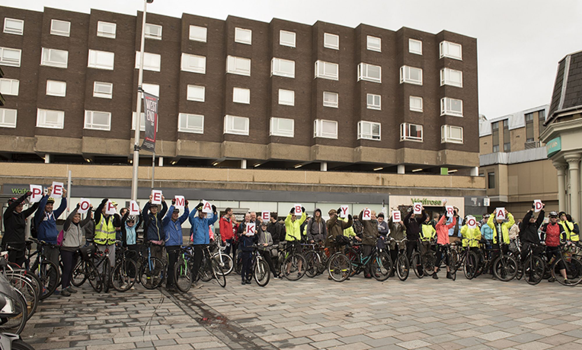

It’s that time of year when the popular cycling routes in Glasgow Green are diverted around the TRNSMT music festival. Here’s a quick visual guide to the diversion route.
The south bank route
The diversion route goes over the St Andrews suspension bridge to the south bank of the river. This route was a decent alternative until 2017 when a weir gate on the river jammed open and the loss of water meant part of the riverbank collapsed.

Since then a fenced off section has compromised the route, which already had gates and a few other hazards. Most of the year this affects locals on the Gorbals side but, during the TRNSMT festival, NCN 75 is closed and the diversion is used by a much larger number of people.

Diversion route
The following photos show the diversion route going west from St Andrews suspension bridge towards the city centre.
Once over the bridge there is a sharp right turn to follow along the river.

The first section wasn’t affected by the collapse and is still quite wide.

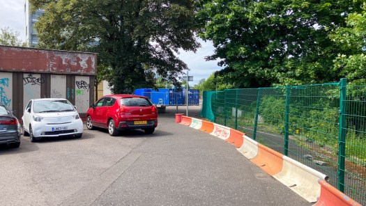
However, once you get to the distillery, the route moves on to the road and becomes narrower. The red and white barrier is pushed back to allow car access to parking spaces.

There can also be pinch points caused by poor parking.
The next bit is filtered with a bollard but is quite narrow.

Then you rejoin the original ‘soft segregated’ route towards Adelphi House.

There’s a gate at Adelphi House then a pavement section with more obstacles.

There’s quite a lot of stripey hazard tape on fences and poles on the next section.

The pavement then widens for a bit with more obstacles.

The section past the weir control building has a road alternative.

At the end of the diversion you have a choice of going over Albert bridge/Crown Street (but the other end will be very busy with TRNSMT crowds).

Instead, you can cross the road and continue on the much wider river path towards Gorbals Street (past City of Glasgow College and Glasgow Central Mosque).

Gorbals St bridge has the South City Way path over to the junction at the Clutha pub, where there’s a connection onto NCN75/Clyde Walkway.
