
A brief update from Glasgow and South Lanarkshire. Includes a much-anticipated upgrade to NCN7 and a short notice event in East Kilbride.
Glasgow City
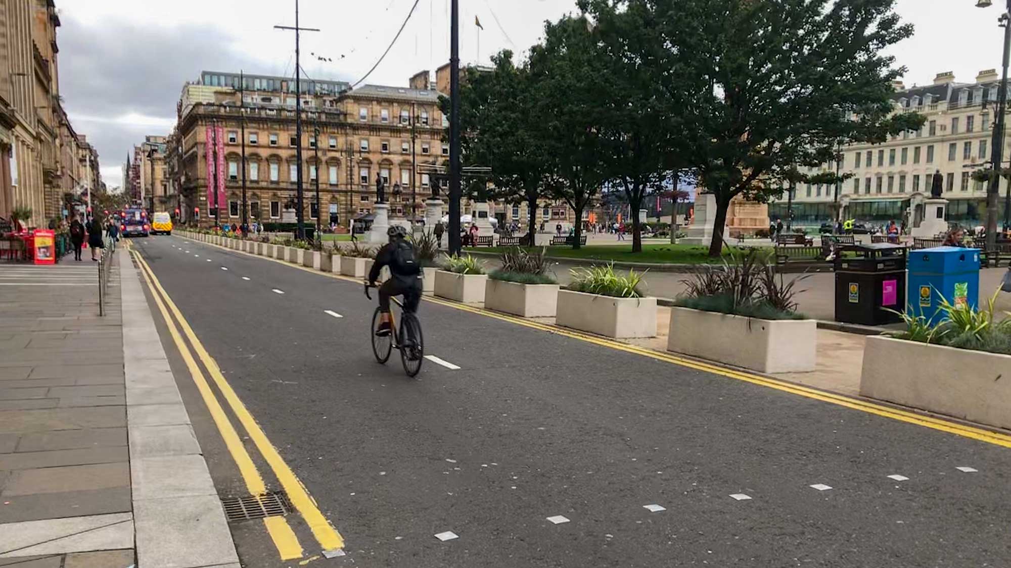
Thornwood Roundabout and NCN7 Project

A long overdue project for active travel improvements around Thornwood Roundabout and National Cycle Network Route 7 (NCN7). The roundabout plans are for new crossings and pavements/shared paths (widened onto verges). Crossings at north and east are 2-stage but close to ‘desire line’, with a few pinch points at corners. Crossings at west and south are set much further back (on existing paths). Sawmill St has a shared path south to crossings to a bi-directional cycletrack on South St/Castlebank St. That protected route runs most of the way to Pointhouse Place where there’s a shared path from the corner at the Riverside Museum. There’s a useful fly-through video of the route on the council webpage (and many visuals, which show cyclists riding on the right!). The cycletrack continues west along South St to the crossing at the end of the old railway path on the north side (near Dilwara Ave). While Thornwood roundabout is still car-dominated the plans are an upgrade for active travel. The cycletrack would be a very welcome improvement compared to NCN7’s current shared pavement.
Links: Thornwood-NCN7 consultation, Thornwood-NCN7 survey, Thornwood roundabout plans (PDF) and NCN7 plans (PDF).
Deadline: Sunday 17 December 2025.
Connecting Yorkhill and Kelvingrove – Phase 4

“Proposals include an enhanced public realm outside Exhibition Centre Train Station, with plans aiming to create a more inviting and accessible space that supports sustainable travel. This project also explores how Corunna Street, Minerva Street and St Vincent Crescent could be improved to better support walking, wheeling and cycling, while creating more welcoming and accessible public spaces. Proposed improvements include making Corunna Street one-way northbound with a dedicated southbound cycle lane, upgrading pavements and crossings, and adding clearer signage to improve wayfinding.”
Links: Connecting Yorkhill–Kelvingrove Smartsurvey (see plans in updated Connecting Yorkhill–Kelvingrove StoryMap).
Deadline: 7 November 2025.
Yorkhill to Anderston Liveable Neighbourhood – Phase 1

“Plans for the Anderston Liveable Neighbourhood build on earlier community feedback, and focus on improving the environment for pedestrians at Kent Road, Brechin Street, Claremont Street, Breadalbane Street and Dover Street. Proposed changes include upgrading pavements with dropped kerbs and tactile paving, improving pedestrian crossings, and adding new infrastructure such as cycle shelters, green planting and enhanced drainage.”
Links: Yorkhill to Anderston LN Smartsurvey (see plans in updated Yorkhill to Anderston LN StoryMap).
Deadline: 7 November 2025.
South Lanarkshire
East Kilbride Masterplan – planning consultation event

SLC have announced a further consultation event for the first phase of East Kilbride town centre redevelopment. It follows previous consultation and events in EK shopping centre. This one may be linked to a Pre-Application Notice (PAN), ahead of plans being submitted, but it’s not clear. The redevelopment site is south of Cornwall St, which has a Spaces for People cycleway on its northern side. An article in South Lanarkshire View says: “The proposals that local residents and communities are being consulted on include:
- a reduction of 42% in retail floorspace
- up to 400 new homes in a new town centre neighbourhood
- a new Civic Hub
- a food supermarket as an anchor retailer
- the transformation of entrance points, including a new hotel”
Event: East Kilbride Central Library from 3pm to 7pm on Thursday 30 October.
Links: East Kilbride Masterplan, SL View article.
Country Park Masterplans

Visuals and plans for Calderglen Country Park (East Kilbride) and Chatelherault Country Park (Ferniegair/Hamilton). These follow consultations last year (see Digest 165). Plans for both parks include upgraded facilities and infrastructure. The highlight for cycling is a proposed new active travel path and bridge over the burn at Calderglen. An article in South Lanarkshire View says: “Phase one projects include the creation of a new ‘pump track’ for three–to seven-year-olds close to the existing adventure playground at Calderglen.” Also, “a study is underway to look at options to reinstate the White Bridge at Chatelherault. The council’s approved budget for 2025/2026 includes an allocation of £1.35m towards both projects. Approved Masterplans for each park will mean that the council can pursue new UK and Scottish Government funding as and when available.”
Links: SLC Country Parks website (note: survey has closed).