
East End bikes, West End bus
This issue is split between a few East Renfrewshire consultations and one for the East City Way (by the velodrome, ahead of next year’s World Championships). There’s a consultation for ‘Greater Pollok’, in the south-west of Glasgow, and five ‘bus corridors’ on the western side of the city (no longer ‘Sustainable Transport Corridors’?).
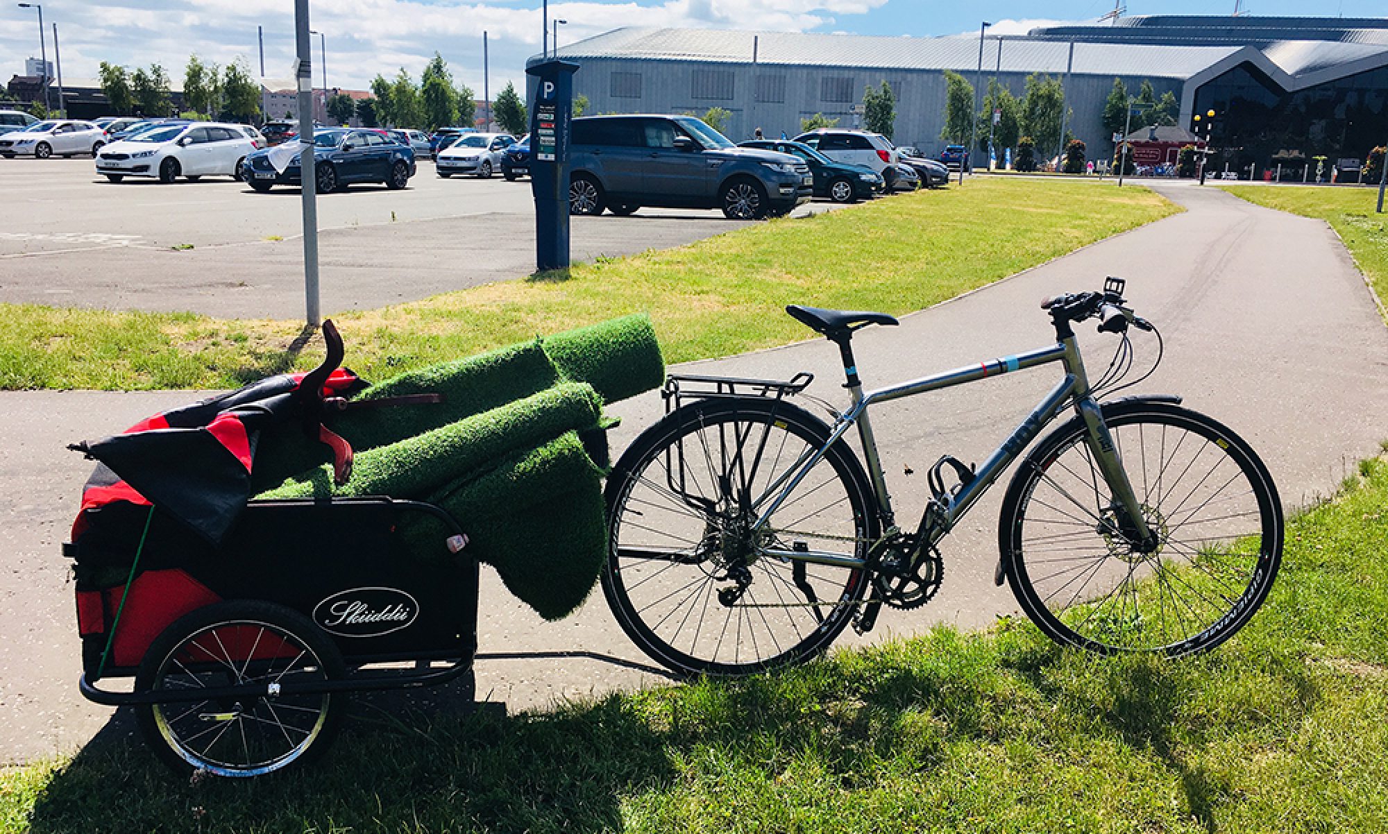
Also, a new development is planned next to the shared path under the Kingston Bridge (see site plan in image, above). Plus feedback on moves to cap Charing Cross (or maybe even replace the city centre M8?).
Contents
(new/updated items in bold – link jumps to article)
Section 1: Current Consultations
- A77 Active Corridor (Ayr Road)
- Improving Bus Travel – Glasgow Region
- City Wharf development (Anderston Quay)
- East City Way – Phase 6 and 7
- LDP2 – Supplementary Guidance Consultation (ERC)
- Greater Pollok Strategic Development Framework
- Greenock to Battery Park SfP lane
Section 2: Consultation Feedback
1: Current Consultations
(in date order for responses)
1.1: A77 Active Corridor (Ayr Road)
Council: East Renfrewshire.
Area: A77 west of Newton Mearns.
Subject: Phase 1 of this project extended a shared path from the M77 overpass past Malletsheugh Rd (site of at least one car crash, as seen on StreetView). Phase 2 would add a toucan crossing then 1-way lanes for about a quarter of a mile towards Newton Mearns (removing a central reservation, as shown in main image in Digest 112). Also, proposals would convert a roundabout to a protected junction with traffic lights. This would be one of the first of this kind of protected junction in a Scottish town. As with previous consultations on Ayr Rd, the comments are polarised between road safety/active travel and convenience for driving/stereotypes about cycling. The new Williamwood Cycle Lane Campaign have asked people to support the proposals.
First featured: Digest 97, Item 1.7.
Website links: A77 Active Corridor consultation.
Deadline: 30 June 2022.
1.2: Improving Bus Travel – Glasgow Region

Organisation: Glasgow Bus Partnership.
Area: Five ‘bus corridors’ including Maryhill Rd, Great Western Rd, Dumbarton Rd, Paisley Road West and the A77. These cover whole routes from neighbouring council areas and city centre streets like Hope St and Cathedral St.
Subject: On the surface, this is part of a City Deal funded project to reduce bus delays by 20%. However, Glasgow’s Active Travel Strategy and Network Map call the same routes ‘Sustainable Transport Corridors’. Ominously, active travel isn’t mentioned at all in this consultation. While bus routes and issues need attention, it does raise questions about the wider approach when GBP hold the purse strings. The ATS was written under Anna Richardson who’s since left the council – no replacement Active Travel Lead has been appointed so far. While that voice is missing at the top table, this consultation is an important chance to remind GBP that protected cycletracks on these routes are essential for the future network.
Website links: Improving Bus Travel consultation page and Glasgow Buses survey.
Deadline: 1 July 2022.
1.3: City Wharf development (Anderston Quay)

Organisation: Dandara Living (developers).
Area: Anderston Quay by the Clyde, west of the Kingston Bridge. Site is next to the shared path to Expressway pedestrian bridge.
Subject: Latest plan for flats and public realm on this site, which seems to build over the top of Cheapside St (see image at top of page). Planning permission was given in 2018 but Dandara have updated their plans with a taller tower (at the south-eastern corner). This helps increase the number of flats to 670 in three blocks. Apparently, they’ll have 60 car parking spaces but 850+ bike spaces! There’s no detail on the type of bike parking or about the “commercial space”. There are hardly any shops in the immediate area. However, there is a large hotel/office block being built on the next plot, beside the Daily Record building. It seems to include some shops/cafes, if you believe the development’s visualisation (PDF). City Wharf is a pre-application consultation. A ‘live chat’ took place online on 16 June as part of the process.
First featured: Digest 112 (under Forthcoming consultations).
Website links: City Wharf design proposals (click buttons under image to view each one).
Deadline: 8 July 2022.
1.4: East City Way – Phase 6 and 7

Council: Glasgow City.
Area: London Road – from Fielden Street (West of Scotland Housing Association) to Canmore Street (by Helensea Park).
Subject: East City Way Phase 1 (2021) is at Mount Vernon, near the North Lanarkshire boundary. Phases 6 and 7 are due ahead of the UCI Cycling World Championships in August 2023. They’d continue where the older bi-directional cycletrack from Bridgeton finishes (near the police station). They’d be uni-directional lanes past Celtic Park/Emirates towards Braidfauld, following the current Spaces for People lanes. However, they’d take up less room (leaving space for both right-turn lanes and bike lanes at junctions). They’d give permanent protection, including on the section past Celtic Park where segregation was removed (due to a perceived trip hazard). The lane seems to be kerb-separated, so hopefully doesn’t suffer the same fate. The Clyde Gateway protected junction looks promising but the angled crossroads at Springfield Rd (in link and image, above) has several issues. Also, why narrow north-side pavements instead of using the derelict space on the south-side?
First featured: Digest Extra.
Website links: East City Way Facebook post and East City Way survey (13 questions).
Deadline: 15 July 2022.
1.5: LDP2 – Supplementary Guidance Consultation (ERC)
Council: East Renfrewshire.
Subject: ERC is reviewing Supplementary Guidance documents to go with its Local Development Plan 2. They say: “Supplementary Guidance provides further detail about the policies and proposals of the LDP2 and forms a statutory part of the Adopted plan. There are 3 statutory Supplementary Guidance documents on which we are consulting, these are: Affordable Housing; Green Network; and Development Contributions.” This last item can include housebuilders creating paths to join existing networks. So, stronger policy could mean improved links to new developments. There’s also a Householder Design Guide coming out separately to LDP2.
First featured: Digest 47, Item 1.5 (further detail in Digest 48, Item 1.4).
Website links: Supplementary Guidance Consultation (near foot of page).
Deadline: 20 July 2022.
1.6: Greater Pollok Strategic Development Framework

Council: Glasgow City.
Area: South-western corner of Glasgow at edge of M77 and East Renfrewshire. Includes Leverndale, Nitshill, Priesthill and Darnley neighbourhoods.
Subject: The latest SDF follows others for North Glasgow, Inner East, etc. These documents cover larger areas and look at requirements for economy, environment and transport over the next few decades. This is an initial consultation to gather comments on a Commonplace map. This part of Glasgow juts out between Barrhead and Thornliebank so connections with East Renfrewshire are important. It covers part of Dams to Darnley Country Park so has some things in common with the Barrhead consultation map in last issue. Also, Braidcraft Rd and Brockburn Rd have Spaces for People lanes (as does Corkerhill Rd to north). However, there are some hellish junctions around Silverburn Shopping Centre. Later in the year GCC should write a draft strategy for further consultation.
Website links: Greater Pollok Commonplace map.
Deadline: September 2022.
1.7: Greenock to Battery Park SfP lane
Council: Inverclyde.
Subject: A Spaces for People temporary route between Greenock town centre and a coastal park. A council vote was 9:2 in favour of keeping the lanes for another six months, with a further review in September. Photos in the consultation survey show a mixture of on-road ‘soft’ segregation and painted lanes on footways and across side roads. While some of the junction and bus stop treatments may not be ideal, there seem to be decent protected sections too.
First featured: Digest 108, Item 1.12.
Website links: Greenock Town Centre to Battery Park – Community Engagement and Inverclyde Now article on council vote.
Deadline: No obvious deadline.
Section 2: Consultation Feedback
2.1: Levelling Up Fund (second funding call)

Council: Glasgow City.
Area: City-wide (but only one bid per UK parliament constituency).
Subject: This is a UK Government fund for ‘smaller’ transport projects, town centre regeneration and heritage projects up to £20m. Pollok Country Park Stables & Courtyard won funding from the first call. Also, one big bid is allowed for a £50m transport project. In the second call, Glasgow’s big transport bid is a cap over the M8 at Charing Cross. However, it wouldn’t extend in front of the Mitchell Library. Apparently, there are complications with clearance above the road and shallow rail tunnels. Also, GCC would need approval from Transport Scotland. The other high profile bid is to restore the Winter Gardens at the People’s Palace. Both are in the same UK constituency (Glasgow Central). The rest include regenerating ‘town centres’ in Drumchapel (Glasgow NW), Easterhouse (Glasgow East) and Maryhill (Glasgow North). Also, paying for Possilpark Liveable Neighbourhood (Glasgow NE) and ‘Clyde Connectivity’ linking QEUH, SEC and city centre (Glasgow West/Central).
Website links: Re:Glasgow Levelling Up Fund article and GCC City Administration Committee paper.
2.2: Replace the M8? A Public Conversation event

Organisation: University of Glasgow, Urban Studies.
Area: The city centre M8 corridor.
Subject: The Replace the M8 Twitter account started in August 2021. It has built up a following and featured in the Imagine Glasgow COP26 event. On 21 June, Dr Andrew Hoolachan at Glasgow Uni hosted people from different disciplines to discuss replacing the M8. The panel included: Jude Barber (Collective Architecture), Iain Docherty (Stirling University), Cllr Christy Mearns, Niall Murphy (Glasgow City Heritage Trust) and Paul Sweeney MSP. Some of the main points are noted in a Twitter thread by active travel researcher Rachel Aldred. GCC leader Susan Aitken later tweeted: “My administration is clear we’d like to see radical transformation of the M8 but I don’t have the power to effect that. It will require national action and very significant investment.” Also, Green councillors tabled a council motion about investigating how to reduce the impact of the M8 on the city centre. One to watch…
Website links: Replace the M8’s open letter. (Also, a recording of the meeting is due to follow.)