
Putting the ‘Arg’ in Argyle St.
Plans for Argyle St West have re-appeared as a Traffic Order, looking very similar to the last time we shook our heads at them. Most other consultations are continued from the last issue in Ayrshire, Lanarkshire, Renfrewshire and the National Park. Plus, there’s more on the phases of the City Network Delivery Plan.
Also, there are new events on the horizon for Govan Graving Docks…
Forthcoming events
Govan Graving Docks – Co-design Consultations (active travel route/riverside park):
Thursday 25 May 2023.
14:30–16:30 – The Riverside Hall, 29–31 Clydebrae St, Govan, Glasgow G51 2AJ.
17:30–19:30 – The Pearce Institute, 840–860 Govan Rd, Govan, Glasgow G51 3UU.
A second consultation is planned for August. More details should follow at Govan Graving Docks website.
Contents
(new consultations in bold)
1: Current Consultations
- Clydesdale Active Travel studies
- Connecting Yorkhill and Kelvingrove
- Improving Southholm Roundabout (Erskine)
- North Woodside Road consultation
- East Renfrewshire Third Local Development Plan
- East Kilbride Town Centre Active Travel Network – Phase 1.4
- Argyle St West (Traffic Regulation Order)
- North Ayrshire Local Development Plan 3
- North Lanarkshire Council – Green and open space survey
- Loch Lomond & the Trossachs National Park Partnership Plan
- Devon Street Urban Park
2: Consultation Feedback
3: Proposed Traffic Regulation Orders
Section 1: Current Consultations
(in date order for responses)
1.1: Clydesdale Active Travel studies
Council: South Lanarkshire.
Area: Clydesdale/Clyde Valley split into three (quite arbitrary) regions: North-west (Lesmahagow/Douglas), North-east (Carstairs/Biggar) and South (Abington/Leadhills). They miss out Carluke and Lanark, as these towns already have Active Travel studies.
Subject: Consultation on draft Active Travel Studies for each of the three areas (by Aecom). The M74/NCN74 corridor runs through the north-east and south areas but not all villages have paths to it. Recent active travel projects by the council in Clydesdale include Carstairs and Leadhills. Also, Leadhills is part of a joint active travel project to connect it to Wanlockhead, Dumfries & Galloway. Further links between routes in South Lanarkshire, D&G and Borders are part of the Clydesdale Way project.
Website links: Clydesdale Active Travel studies webpage.
Featured: Digest 129, Item 1.1.
Deadline: 19 May 2023.
1.2: Connecting Yorkhill and Kelvingrove
Council: Glasgow City.
Area: Phase 1 – Yorkhill North; Phase 2 – Yorkhill South; Phase 3 – Kelvingrove; Phase 4 – Corunna St & Minerva St.
Subject: Formerly ‘Yorkhill and Kelvingrove Cycling Village’ – still funded by Spaces for Everyone. Phase 1 proposals show a bi-directional cycletrack from Kelvin Way on Radnor St, Haugh Rd, Gilbert St and Sandyford St. The Gilbert/Sandyford corner links to a path to Centurion Way, the 2-way lanes on Ferry Rd (separate City Deal project) and the Expressway underpass to NCN7. Yorkhill St links south to Kelvinhaugh St and north to Old Dumbarton Rd (also City Deal). There are public realm improvements, new crossings and a new cycle hire station on Kelvinhaugh St. Most of this looks promising although it’s a 2-way cycletrack so could be tricky to join or leave (especially at diagonal crossing from Radnor St to Haugh Rd). It passes opposite Bike for Good and Dockyard Social (maybe partly to avoid loading vans). Also, expect issues with car parking (used by visitors to the SEC, SWG3 and Finnieston).
Featured: Digest 107, 1.11.
Website links: Connecting Yorkhill & Kelvingrove storymap.
Deadline: 21 May 2023.
1.3: Improving Southholm Roundabout (Erskine)
Council: Renfrewshire.
Area: Old Greenock Rd/A726 junction south of Erskine.
Subject: Revisiting one of the junctions from the Erskine junction safety consultation. Results were in favour of action to improve road safety. Southholm Roundabout is set amongst trees on the edge of town but hemmed in on the south-west by a low stone wall. There may be enough space for a proper Dutch-style roundabout (as speed limit is changing to 30mph). These tend to be single-lane with a cycle lane in a separate outer ring (crossings on each arm leave a gap for cars to stop). However, neither of the two options offers that. One proposal is for a single lane roundabout but it expands the centre instead of pulling the kerblines in. Both options have shared pavements too. Meanwhile, neighbouring East Renfrewshire’s Dutch-style roundabout at Malletsheugh on A77 is under construction. However, at least the options don’t follow comments on local councillors Facebook page calling for more road lanes.
Featured:Digest 125, 1.2.
Website links:Improving Southholm Roundabout: Concept Designs.
Deadline: 28 May 2023.
1.4: North Woodside Road Consultation
Council: Glasgow City.
Subject: This project was started by Websters Theatre in 2020, as part of GCC’s “Animating Spaces” initiative. Now part of Connecting Woodside, it’s back for further consultation. It’s about the stopped up end of North Woodside Rd at Great Western Rd outside the theatre (formerly Lansdowne Church). Active travel is mentioned, as well as a performance space, but there don’t seem to be any formal plans yet. Instead, there’s a survey and postcard.
Featured: Digest 75, Item 1.1.
Website links: N Woodside Rd survey and postcard.
Deadline: 29 May 2023.
1.5: East Renfrewshire Third Local Development Plan
Council: East Renfrewshire.
Subject: ERC are consulting about how best to engage people ahead of the new Local Development documents coming out. “Stage 1: Pre-Engagement Surveys. The first stage is finding out how communities and other stakeholders want to engage on LDP3 preparation and receive updates.”
Website links: East Renfrewshire Third Local Development Plan Commonplace website.
Deadline: 31 May 2023.
1.6: East Kilbride Town Centre Active Travel Network – Phase 1.4
Council: South Lanarkshire.
Area: West Mains Road at its eastern end, from Creighton Grove to the Priestknowe (Three Bears) roundabout.
Subject: Section of W Mains Rd past housing to link to bike paths on Churchill Ave. There are two options to continue east of the existing 1-way cycletracks (from zebra crossing). Option 1 has a short 2-way cycletrack then shared path, with green space made into a ‘pocket park’ (keeping most parking bays). Option 2 is mostly 2-way cycletrack, except for short breaks at disabled parking bays, then shared path round corner at roundabout. The latter would remove most of the current car parking spaces and convert the grass area into a residents car park. While the council have to keep residents on-side, it’s a bit of a Hobson’s choice between the two options. Also, SLC haven’t addressed links from Creighton Grove up to Hunter Community Health Centre and Andrew St, which need resurfacing/re-signed.
Featured: Digest 110, 2.3.
Website links: East Kilbride Town Centre Active Travel Network – Phase 1.4 webpage.
Deadline: 2 June 2023.
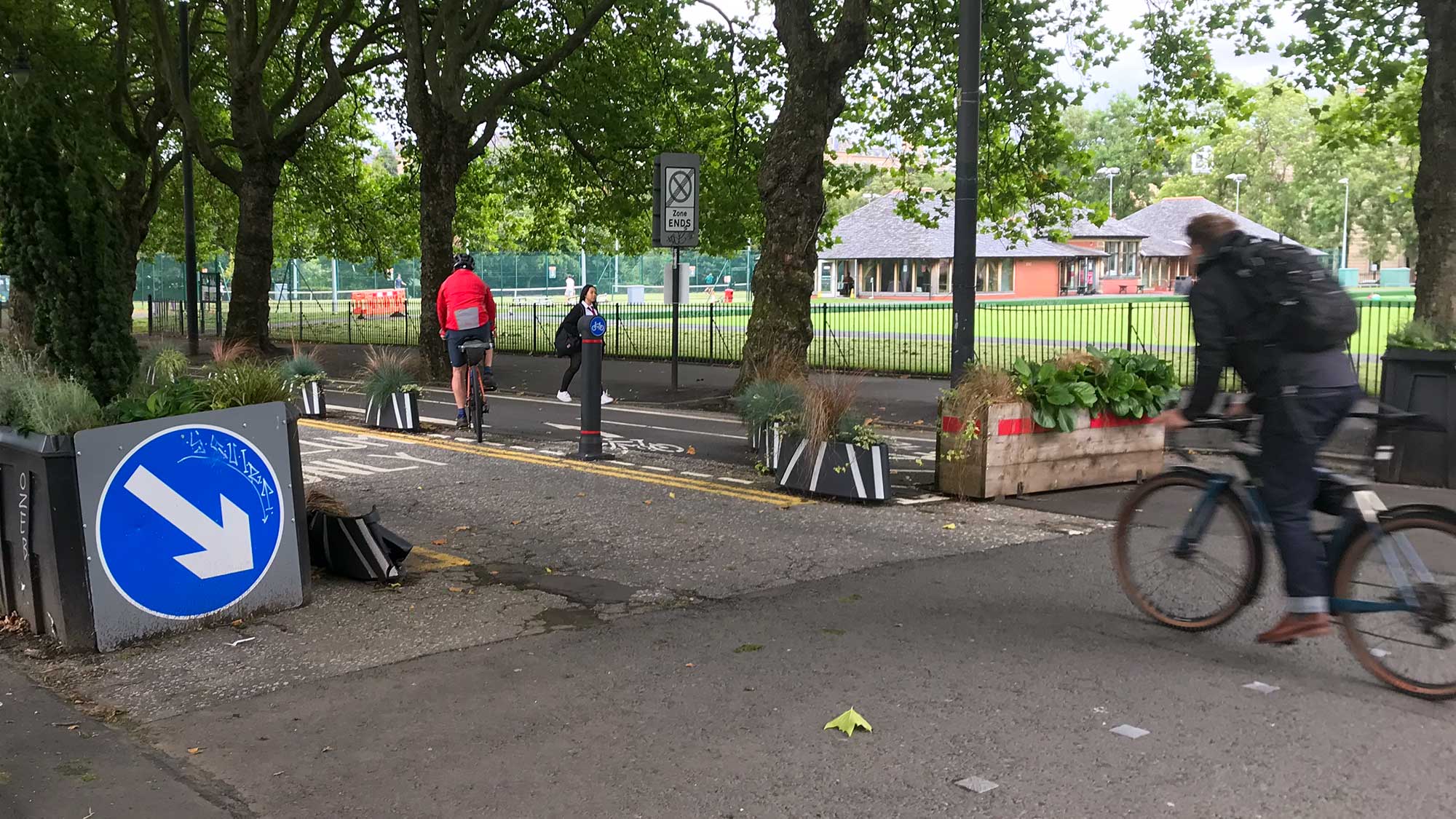
1.7: Argyle St West (Traffic Regulation Order)

Council: Glasgow City.
Subject: The public (Stage 2) TRO is out for this Avenues project. GoBike wrote to the council about the plans at Stage 1 (consultees only). GCC’s reply went into some technical details. The project was on hold during the pandemic so designs date from before the update of Cycling by Design (2021). Existing roadspace becomes one-way cycle lane weaved around car parking bays. We’ve previously heard that the shallow Argyle St rail tunnel dictates where ‘rain gardens’ can go. Apparently, that’s why the plans have planting nearer buildings and the cycle lane at the kerb. However, the zigzag bike lanes will be seen as Glasgow’s answer to the notorious lanes on Leith Walk, Edinburgh. Western Argyle St may not be as busy but large developments west of the M8 will soon increase footfall. The order also covers the ‘Hielenman’s umbrella’ and one-ways on Albion St/Shuttle St (Merchant City).
Featured: Digest 101, 2.2.
Website links: GCC Proposed TROs, Argyle St West TRO documents.
Deadline: 19 June 2023.
1.8: North Ayrshire Local Development Plan 3
Council: North Ayrshire.
Subject: First consultation stage for the next Local Development Plan by North Ayrshire. It may be one of the first in Scotland under the new National Planning Framework 4 (NPF4 came into force in February 2023). As a result, it should have more emphasis on the environment, including active travel. Getting cycling routes/networks, developer obligations, etc. mentioned in the LDP makes them more likely to be delivered. Also, if developers proposals miss out or go against the LDP, these give people grounds to object and have plans altered or conditions added.
Website links: North Ayrshire LDP3 consultation website.
Deadline: June 28 2023.
1.9: North Lanarkshire Council – Green and open space survey
Council: North Lanarkshire.
Subject: Survey and audit data to feed into an Open Space Strategy and other policies. NLC avoid on-street protected cycle lanes, so anything affecting off-street paths could have a big impact on cycling in the county. Areas like the Seven Lochs Wetland Park have cross-border active travel routes (Hogganfield Loch to Drumpellier Country Park, Coatbridge). NL’s other country parks, Palacerigg (see above) and especially Strathclyde Park, are also havens for active travel. The latter has added and upgraded paths near Bellshill with more of NCN74 due to be re-routed through the park. The council ignored a GoBike suggestion for links between Strathclyde Park, Duchess Park, Ravenscraig and the existing Greenlink route (as part of redevelopment of Airbles Rd). There’s potential for similar links around some of North Lanarkshire’s dozen nature reserves. The consultation has a general survey and one about specific places that are important to visitors or residents.
Website links: Green and open space surveys.
Deadline: 10 July 2023.
1.10: Loch Lomond & the Trossachs National Park Partnership Plan
Organisation: Loch Lomond & the Trossachs National Park.
Area: The park ranges from Loch Eck and Loch Goil in the west to Loch Earn and Callander in the east. Also, from Killin and Crianlarich in the north to Balloch in the south (but it misses out Helensburgh and Gare Loch).
Subject: A wide-ranging five year plan for the park. It includes a section on ‘Low Carbon Travel for Everyone’. Cycle routes and active travel are mentioned briefly but most of the section is about buses. That may make sense, considering the size of the park, but it’s still a bit disappointing. There’s already a cycle route from Balloch up the west side of Loch Lomond (and there were plans for an active travel route to Inverarnan as part of A82 works). Active travel paths were extended along the River Goil in 2021 and there seems to be plenty of scope for more.
Website links: Loch Lomond & the Trossachs National Park Commonplace site.
Deadline: 19 July 2023.
1.11: Devon Street Urban Park
Organisation: Glasgow Urban Sports (GUS).
Area: Southside between Eglinton St and Pollokshaws Rd.
Subject: Formerly GUS M74, now revised and renamed… “The Devon Street Urban Park project is a proposal from Glasgow Urban Sports (GUS), a community led organisation, that aims to transform an unused area of land under the canopy of the M74 motorway, on the southside of Glasgow, to create a new public urban park and community leisure space.” While the project still involves building a skatepark it seems to have broadened out a bit to gain more community support. There are new partner organisations on board and a new survey to fill in.
Featured: Digest 92, Item 1.14.
Website links: Devon St survey, new GUS website.
Deadline: No obvious deadline.
Section 2: Consultation Feedback
2.1: City Network – Delivery Plan (Phases 2 & 3)


Subject: An important report from the council about how the City Network will be delivered. The main headline is the phasing and distances planned. Phases 0 and 1 were covered in the previous Digest. No exact timescales were given except that whole network is intended to be complete within ten years (or 2030 in some reports).
Phase 2 – Yoker–Whiteinch (24km), Dennistoun–Carntyne (20km) and Greater Gorbals–Dalmarnock (19km).
Phase 3 – Anderston–Woodlands (22km), North Maryhill–Barmulloch (11km), North Cardonald–Pollok (13km) and Pollokshaws–Mansewood (9km).
Seeing Phase 3 alongside previous phases shows the area around the city centre would be covered. Also, that the distances drop off dramatically in “Mid Priority Clusters” from 22km in Anderston–Woodlands to 9km in Pollokshaws–Mansewood.
Phases 4 and 5 will be in the next Digest.
Featured: Digest 134, 2.1.
Website links: City Network – Delivery Plan report.
Section 3: Proposed Traffic Regulation Orders
3.1: East Dunbartonshire TROs

Areas: Bearsden, Bishopbriggs, Kirkintilloch, Lenzie, Lennoxtown, Milngavie, Milton of Campsie, Torrance, Twechar and Waterside.
Subject: Orders about disabled parking spaces.
Website links: East Dunbartonshire TROs.
3.2: Glasgow City TROs and Traffic Calming
Subject: See Argyle St West, above.
Website links: Glasgow City Proposed TROs and Glasgow City Proposed Traffic Calming Schemes.
3.3: North Lanarkshire TROs
Areas: Towns and villages throughout the county.
Subject: Part-time 20 miles per hour speed restrictions – many around schools. Various Roads (Central region) covers Airdrie, Bellshill, Calderbank, Caldercruix, Coatbridge, Plains and Tannochside (page says Uddingston). Deadline: 14 June.
Also, NLC have a consultation about parking in Cumbernauld village focussed on locals (asks for name/postcode – ends 22 May).
Website links: North Lanarkshire Live Consultations.