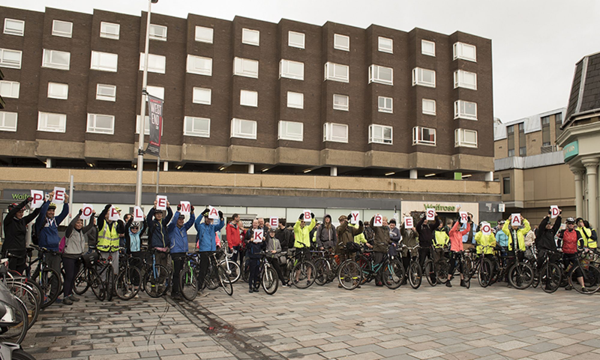

Building back up…
The Digest returns after an extended break for the local council elections (and some tech issues – apologies). The people in charge of a council have a big say in what gets done so it’s worth noting what has (and hasn’t) changed.
Glasgow City Council continues in minority SNP control, with added support from the Greens. However, Anna Richardson has stepped down from her Sustainability role. Instead, the convenor of the Environment, Sustainability and Carbon Reduction City Policy Committee is Elaine McSporran (Cardonald).
Elsewhere, many neighbouring councils have changed hands:
- East Dunbartonshire – SNP minority (from Lib Dem/Tory).
- East Renfrewshire – Labour/Independents (from SNP).
- North Lanarkshire – SNP minority (from Labour/Independents/Tory).
- South Lanarkshire – Labour/Lib Dem/Independent/Tory (from SNP). New council leader Joe Fagan previously criticised infrastructure works in his East Kilbride ward.
- West Dunbartonshire – Labour (from SNP/Independent).
Forthcoming consultations
A few in-person consultation events have popped up recently (including today’s Avenues Plus event on S Portland St). Unfortunately, the next few are on the same evening:
Woodside Making Places – Information Day
Tuesday 31 May, 3–6pm – outside Cedar Community Hub (Cedar St).
Find out more about the Places for Everyone project led by Queen’s Cross Housing Association. This neighbourhood project links to Garscube Rd, N Woodside Rd and the wider Connecting Woodside scheme. It’s also just unveiled Glasgow’s latest mural.
City Centre Campus/‘Learning Quarter’ and Townhead – Public design session
Tuesday 31 May, 4.30–7.30pm – Technology and Innovation Centre (99 George Street).
Hosted by Stantec, who are lead consultant for the campus project involving Strathclyde Uni, Glasgow Caledonian Uni and City of Glasgow College. Likely to focus on their recent survey (but the name is confusingly similar to a previous District consultation).
Contents
(new/updated items in bold – link jumps to article)
Section 1: Current Consultations
- Shawlands Arcade – Consultation Round 2
- SWG3 Transport Survey
- Yorkhill to Anderston Liveable Neighbourhoods
- Greenock to Battery Park SfP lane
- *ADDITION – East Renfrewshire Programme
Section 2: Consultation Feedback
- City Centre Traffic Management Order (Variation 31) George Square 2022
- Parking and 20mph TROs, East Dunbartonshire
1: Current Consultations
(in date order for responses)
1.1: Shawlands Arcade – Consultation Round 2

Organisation: Clydebuilt developers.
Area: Shawlands Arcade between Kilmarnock Rd and Pollokshaws Rd.
Subject: Further consultation about the regeneration of the shopping arcade. Revised proposals add a few storeys to the height of buildings so they’d be taller than surrounding tenements. The north/south ‘Avenue’ between the two phases of development has a level change with stairs and a lift but no ramp – so it’s not permeable for cycling. There may be cycle access via the service road around the east of site (but it’s not clear in plans). The blurb talks about the South City Way being 2 minutes away but there’s no protected cycle route to get there. There seems to be space to add protected cycle lanes along Kilmarnock Rd, instead of the split level pavement, but that’s not included in the plans. Car parking provision will be around 10% with some secure bike parking.
Website links: Shawlands Arcade consultation 2 – proposals (page may take time to load large, inaccessible images) and Shawlands Arcade survey 2.
Deadline: 31 May 2022.
1.2: SWG3 Transport Survey

Organisation: SWG3 venue.
Area: Eastvale Place, Finnieston next to the railway viaduct.
Subject: SWG3 is a former whiskey bond that’s evolved into a complex of events venues. Well established for its club nights and gigs but on a long cul-de-sac that can be awkward to get to. Big events have a lot of cars doing u-turns at the end of the road outside the venue as people queue in the street. Cycling is one of the better transport options but the only places to lock your bike are railings or gates on the railway arches. SWG3 are asking how people get to the venue and there’s a section about Nextbike and cycle parking.
Website links: SWG3 Transport Survey.
Deadline: 7 June 2022.
1.3: Yorkhill to Anderston Liveable Neighbourhoods
Council: Glasgow City.
Area: From Yorkhill, Kelvinhaugh, Stobcross, Sandyford, Finnieston to Anderston.
Subject: The latest Liveable Neighbourhoods consultation covers the area between the River Clyde, River Kelvin, Kelvingrove Park and M8. Popular active travel infrastructure in the area includes NCN7/75 and the West City Way. Also, the (almost finished?) lanes funded by City Deal on Bunhouse Rd and Old Dumbarton Rd. Further segregated cyclepaths are due for Yorkhill and Kelvingrove Cycling Village. These include Minerva St and Haugh Rd (where Bike for Good have their West hub). However, there are still plenty of gaps, as shown when the riverbank was shut during COP26. A new bridge across the Clyde at the Riverside Museum is due to start construction. Meanwhile, the SEC’s redevelopment may close off the red ‘smartie tube’ bridge at Exhibition Centre station. The M8 motorway remains a barrier to destinations like the Mitchell Library and Anderston station.
First featured: Digest 107, Item 1.11.
Website links: Yorkhill to Anderston LN (Commonplace).
Deadline: June 2022.
1.4: Greenock to Battery Park SfP lane
Council: Inverclyde.
Subject: A Spaces for People temporary route between Greenock town centre and a coastal park. A recent council vote was 9:2 in favour of keeping the lanes for another six months, with a further review in September. Photos in the consultation survey show a mixture of on-road ‘soft’ segregation and painted lanes on footways and across side roads. While some of the junction and bus stop treatments may not be ideal, there seem to be decent protected sections too.
Website links: Greenock Town Centre to Battery Park – Community Engagement and Inverclyde Now article on council vote.
Deadline: No obvious deadline.
1.5: *ADDITION – East Renfrewshire Programme
Council: East Renfrewshire.
Areas: Barrhead, Busby, Neilston, Newton Mearns and Thornliebank.
Subject: Consultations about improvements for five neighbourhoods, each with a Commonplace map. These started earlier in May (but were forgotten by your author, sorry – explains the nagging feeling there were more consultations to cover!). More details to follow about each in the next Digest.
Website links: East Renfrewshire Programme website.
Deadline: 20 June 2022.
2: Consultation Feedback
2.1: City Centre Traffic Management Order (Variation 31) George Square 2022

Council: Glasgow City.
Subject: This Traffic Regulation Order was apparently made on 3rd May 2022. The TRO sets restrictions in and around George Square to allow the temporary Spaces for People changes to be made permanent. These include filtering the west and east sides to remove motor traffic and add planters and seating. The map is unchanged from the version put out to consultation earlier in the year.
First featured: Digest 99, Item 1.6.
Website links: George Sq map.
2.2: Parking and 20mph TROs, East Dunbartonshire
Council: East Dunbartonshire.
Subject: Half a dozen Traffic Regulation Orders for towns across East Dunbartonshire, mostly adding parking restrictions. However, one order removes restrictions (Stewart St, Milngavie) and there’s another for a 20mph zone in Maxwell Ave, Bearsden. The schools TRO restricts parking at the start and end of the school day at Clober Primary School, Milngavie and Westerton Primary School, Bearsden. The TRO for Townhead, Kirkintilloch covers the new development at Civic Way, site of EDC’s former headquarters. All TROs would come into effect on Monday, 11 July 2022.
First featured: Digest 92, Items 1.5–1.7.
Website links: Bearsden & Milngavie Schools – Waiting & Loading Restrictions (PDF); Maxwell Avenue Area, Bearsden – 20 mph Zone (PDF); Dalkeith Ave, Wellington Rd & Westerhill Rd, Bishopbriggs (PDF); Townhead, Kirkintilloch (PDF); Lenzie Road, Kirkintilloch (PDF) and Stewart Street Car Park, Milngavie (PDF).